Environmental Monitoring & Management
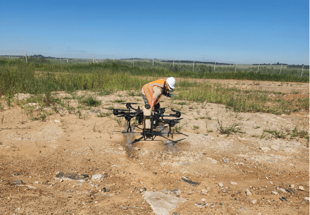
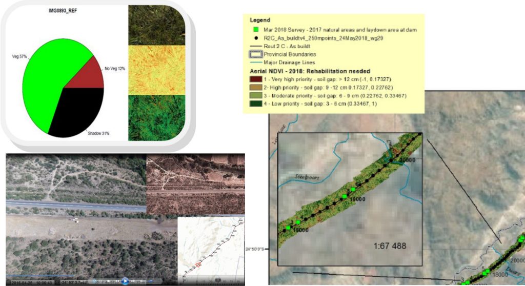
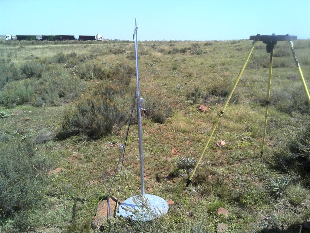
In line with the current information technology-driven society, EIAA uses various remote platforms to assist with environmental monitoring and management. A picture provides a thousand words, and with the aid of modern technology, it is possible to provide regular environmental images at a low cost. The images are time- and date-stamped as well as spatially referenced, thereby providing current and future reference information. Through the electromagnetic spectrum, specifically the near-infrared band, it is possible to measure:
- Vegetation health/biomass—actively growing low or high cover
- Vegetation cover— total or basal (percentage or diameter)
- Bare ground (absence of vegetation cover)—percentage or diameter
- Fire risk/fuel load—kg/ha.
Deliverables are images, videos, or GIS-compatible maps.